
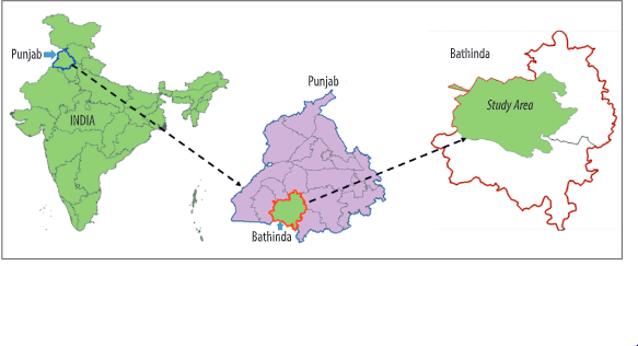
Fig. 1. Location map of the study area
June 1 – Associate Professor, Ram Ray had the opportunity to study improving soil moisture measurements using Water Cloud Model, and satellite data on wheat dominated fields in India. He worked along with his colleagues Kishan S. Rawat, Sudhir K Singh, and Szilard Szabo. This team of researchers focused on developing an integrated approach using Water Cloud Model combined with satellite data to improve soil moisture measurements at farm scale, which helps to reduce the ground sensing in-situ measurements at the farm scale. Their findings have made significant contributions to the soil and plant science, agricultural water resources management, modeling, and remote sensing.
Abstract
The objective was to parametrize a modified water cloud model using crop coefficients (A and B). These crop coefficients were derived from Landsat-8 and Sentinel-2 data. Whereas the coefficients C and D are of soil parameters. The water cloud model was modified using crop coefficients by minimizing the RMSE between observed VVσ0 and Sentinel-1 based simulated VVσ0. The comparison with observed and simulated VV polarized σ0 showed low RMSE (0.81 dB) and strong R2 of 0.98 for NDVI-EVI combination. However, based on other possible combinations of vegetation indices VVσ0 and simulated VVσ0 do not show a good statistical agreement. It was observed that the errors in crop coefficients (A and B) are sensitive to errors in initial vegetation/canopy descriptor parameters.
To read the entire article on Ray’s research, please visit:
HTML Version: https://ojs3.mtak.hu/index.php/hungeobull/article/view/2545
PDF Version: https://ojs3.mtak.hu/index.php/hungeobull/article/view/2545/1984

Ram L. Ray, Ph.D., P.E.
Associate Professor
Raray@pvamu.edu
(936) 261-5094