
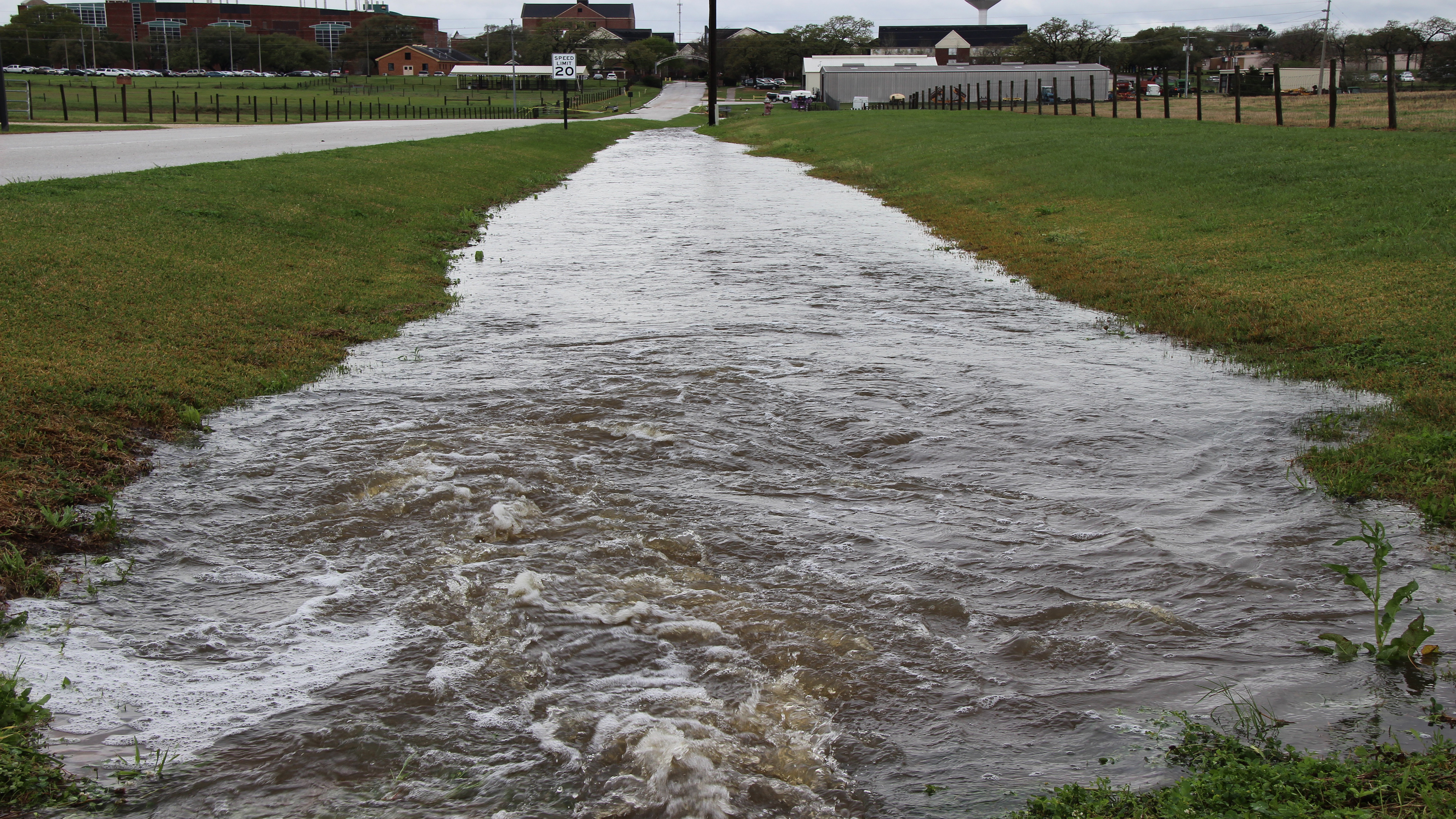
November 26 – Communities in urban areas succumb to flash flooding very often during times of sudden and heavy rain. Cooperative Agricultural Research Center scientist Dr. Hamideh Habibi and her colleague Dr. Dong-Jun Seo have studied how the network of drainage systems in these areas can impact flash flooding. The team recently shared their findings in the Journal of Hydrology after a detailed project modeling drainage systems in the cities of Arlington and Grand Prairie, Texas.
Abstract

For accurate flash flood forecasting and effective stormwater planning and management in urban areas, it is necessary to model not only the natural channel systems but also the large and complex networks of storm drains. In this work, we describe a modular storm drain model that can easily be coupled with existing gridded distributed hydrologic models for real-time flash flood forecasting, and stormwater planning and management for large urban areas (> 100 km2). A salient feature of our approach is the use of the equivalent storm drain network (ESDN) which approximates the actual network on the same grid like that of the distributed hydrologic model, thereby rendering coupling simple and modular. In the integrated model, storm-drain flow occurs through the simplified network coarsened to the resolution of the distributed hydrologic model without full 1D-2D dynamics or very detailed man-made structures and features modeled. The integrated model is applied to a 144.6 km2 area of five urban catchments in the Cities of Arlington and Grand Prairie in Texas, US. Comparisons at selected locations using kinematic-wave flow simulations show that the ESDN approximates the flow through the original network very well with attendant savings in computational amount and reduction in modeling complexities. The impact of the storm drain network is assessed via a combination of simulation experiments, sensitivity analysis and limited comparison with the observed flow. It is shown that the storm drain network in highly urbanized catchments in the study area is very effective in reducing surface flow at most locations for about 30 min following onset of significant rainfall, that the existing stormwater infrastructure would lose effectiveness for approximately 30% of the study area with a 15% increase in imperviousness relative to the current conditions, and that significant uncertainties exist in partitioning of surface flow into storm drain and natural channel flows due to sensitivity to inlet flow modeling. With greatly reduced computing cost and modeling complexity, the proposed approach offers a practical solution for integrated stormwater modeling for large urban areas for a wide range of applications. The proposed approach cannot, however, resolve flow at subgrid scales and hence is not appropriate for very detailed modeling for small areas.
To read the full article, please visit https://www.sciencedirect.com/science/article/pii/S0022169418307996
This work is based upon work supported by the National Science Foundation and the National Oceanic and Atmospheric Administration.

Taelor Smith
Communications Specialist
tasmith@pvamu.edu
(936) 261-5155