
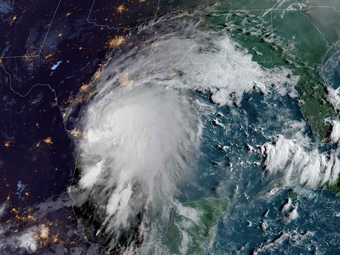
2021 Hurricane Nicholas, September 13, 2021, before making landfall in Galveston, Texas. Courtesy: NOAA/NESDIS/STAR GOES-East
Each year, hundreds of millions of people in the Atlantic Ocean basin, especially the Caribbean and North America, eagerly await the hurricane season prediction. In the United States, the Atlantic Hurricane Season starts June 1 and ends November 30. Historically, this period is when over 97% of the Atlantic subtropical or tropical cyclogenesis occurs.
In its recent forecasting of the 2022 Atlantic hurricane season, the National Oceanic and Atmospheric Administration predicts an above-normal hurricane season. In a likely range of 14 to 21 named storms (winds of 39 mph or higher), 6 to 10 could become hurricanes (winds of 74 mph or higher), including 3 to 6 major hurricanes (category 3, 4, or 5; with winds of 111 mph or higher). NOAA provides these ranges with 70% confidence.
NOAA attributes the increased activity anticipated during the 2022 hurricane season to several climate reasons. The first is especially weaker tropical Atlantic trade winds and an enhanced West African monsoon. An active West African monsoon supports stronger African Easterly Waves, which initiate most of the deadliest and longest-lived hurricanes.
Another reason for a more active AHS is the ongoing La Niña (cooling of the water in the equatorial Pacific, which occurs at irregular intervals and is associated with widespread changes in weather patterns). Unfortunately, La Niña is likely to persist. Another reason is warmer-than-average sea surface temperatures in the Atlantic Ocean and the Caribbean Sea.
Although all the US Gulf and East coastal areas are susceptible to tropical cyclones (hurricanes, tropical storms, and depressions), the NOAA’s hurricane center historical data analysis shows some locations having higher odds of being hit in any given year. The portions of the US with the highest probability of a hurricane of any category are coastal North Carolina, South Florida, and Southeast Louisiana. Coastal New England has the lowest probability. Also, Florida and Texas have higher chances of getting a tropical cyclone than any other state because of their extended coastal areas.
The Greater Houston-Galveston Area, GHGA, is prone to tropical cyclones. Many of these cyclones evolved to become tropical storms, hurricanes, and even some of the deadliest hurricanes, such as:
- the infamous 1900 Galveston hurricane, the deadliest natural disaster in US history,
- 1979 Tropical Storm Claudette, during which the city of Alvin received 43 inches of rain in 24 hours,
- 2001 Tropical Storm Allison, which was the costliest tropical storm in US history,
- 2008 Hurricane Ike, which produced a deadly and destructive storm surge along the upper Texas coast,
- 2017 Hurricane Harvey, which resulted in unprecedented flooding in Houston and surrounding areas, and
- historic rainfall producer 2019 Tropical Storm Imelda, which broke several rainfall records in the US that led to devastating flooding.
Four major hurricanes, 21 named storms, and a major hurricane, Ida, with maximum winds topping out at 160 mph (one of the costliest US hurricanes), the 2021 hurricane season was the third most active on record and the sixth year in a row with an above-normal active hurricane season. Ida hit Louisiana hard on August 29 as a Category 4 hurricane, making it the fifth-costliest storm on record since 1980, with $64.5 billion in damages. According to NOAA’s National Centers for Environmental Information and the National Hurricane Center, Ida follows 2005 Hurricane Katrina at about $179 billion, 2017 Harvey at $138.8 billion, 2017 Maria at $99.9 billion, and 2012 Sandy at $78.7 billion. Although the GHGA was spared a major hurricane in 2021, Hurricane Nicholas made landfall in Galveston on September 14 and left 150,000 people without power.
Forecasting hurricane activities is almost a continuous process that has been conducted for years. In its efforts to alert the US population, NOAA is continuously working on improving the accuracy before and during tropical storm events. With the help of other tools, NOAA scientists will operate five new uncrewed surface vehicles during the peak of the 2022 AHS. NOAA forecasters will also use the newest version of the Weather and Climate Operational Supercomputing System, allowing for uninterrupted operational forecasts.

Ali Fares, Ph.D.
With these two new supercomputers online, the supercomputing capacity supporting NOAA’s new operational prediction and research will be 40 petaflops, which is equivalent to the computing power of 400,000 desktop PCs.
Moreover, these scientists will have a five-day lead excessive rainfall outlook that maps the probability of intense rainfall that could lead to flash flooding within 25 miles of a given point. Also, NOAA will use an experimental graphic that shows the Peak Storm Surge Forecast when storm surge watches or warnings are in effect.
Visit the National Weather Service, NWS Houston/Galveston Hurricane and Severe Weather Guide – 2022, for more information about the 2022 AHS.
Ali Fares, Ph.D., is an endowed professor and chair of Water Security and Water-Energy-Food Nexus at Prairie View A&M University.